Request accessible format of this publication.
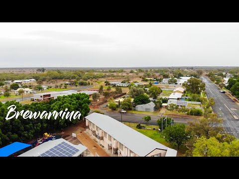
Brewarrina
Brewarrina Multipurpose Service - a great place to work
Brewarrina Multipurpose Service (MPS) has an emergency department with, 8 acute beds, 12 residential aged care beds. Inpatient beds include general medicine and palliative care.
There is 24-hour emergency care, a range of primary and community health service and outpatient services including renal dialysis (7 chairs) available, as well as medical imaging (x-ray).
At Brewarrina MPS staff work both independently as well as part of a team and make a difference to clients with complex health needs.
Current vacancies - apply now
View all roles
$20,000 rural relocation incentives apply for Registered Nursing and other positions at Brewarrina Health Service.
Brewarrina - a great place to live
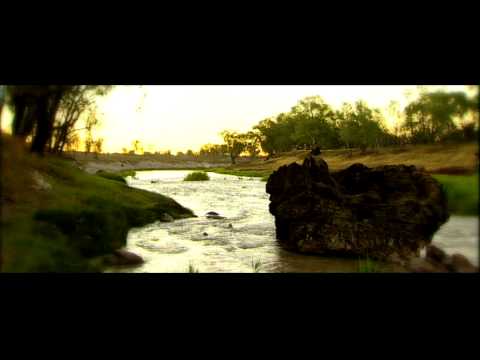
Brewarrina is a small and beautiful town situated on the banks of the Barwon River, overlooking the ancient fish traps on the Kamilaroi Highway west of Walgett. It's approximately 96 kilometres east of Bourke, with a population of 1,140 at the last census.
Brewarrina was established in the 1870's as a service town for the coaches passing through, with hotels and stores available for weary travellers crossing the bridge and the town is located amid the traditional lands of the Muruwari, Ngemba, Weilan and Yualwarri peoples, with a long Aboriginal history where it was once the meeting grounds of over 5,000 people.
Brewarrina's most significant feature is its Aboriginal fish traps, known as Baiame's Ngunnhu which had been maintained by the traditional owners of the land for thousands of years. The age of the fish traps is currently unknown, with locals claiming that the traps are at least 40,000 years old which would mean they may be the oldest surviving human construction in the world.
Consisting of river stones arranged to form small channels, the traps direct fish into small areas from which they are readily plucked. The traps form a complex net of linked weirs and ponds along 500m of the river. They operate at varying water heights and can be altered to suit seasonal changes.
The Brewarrina Shire Council which covers an area of 19,000 square kilometres and borders the state line of Queensland.
The Shire has many attractions like the Old Barwon Bridge, Culgoa National Park, Narran Lakes, Cobb & Co trails, Four Mile Skiing Reserve, Aboriginal Cultural Centre, Visitor Information & Exhibition Centre, Darling River Run, Ochre Bed Pits, and the State Heritage Aboriginal Mission.
Many significant events occur in the Shire including Brewarrina Races, Barwon River Rodeo, Agricultural Field Day, NAIDOC celebration, Weilmoringle Cancel Council Tennis Day, Goodooga Wool Day, Bre Big Fish competition and the Bald Archy Art Prize.
Climate
Brewarrina has the typical hot semi-arid climate of north-western New South Wales, with hot summers frequently over 40 degrees Celsius, cool winters and generally dry all year round.
Community
Community events and recreational activities are a major part of the lifestyle in Brewarrina, with sports bringing the community together.
Connections are made at local rugby union club and other major sports include golf, lawn bowls, shooting, tennis and swimming. The river is also used for swimming and water skiing in the summer months and there's a skate park near the town centre.
The Brewarrina Races are an important race meet in the district hosted by the Brewarrina Jockey Club. Usually held in May the event has a large prize pool, complete with an extensive race program, fashions on the field, as well as other novelty races and lucky door prizes.
The Bre Big Fish is an annual fishing competition run over the June long weekend. It is hosted by the Brewarrina Fishing Club and draws many fishing, hunting and camping enthusiasts to come together.
The township has cafes, two supermarkets, butcher, a petrol station, caravan park, hotel, RSL Club, motels, takeaways, a GP clinic and dentist, a pharmacy, a butcher shop, churches and a childcare centre, pre-school and central school.
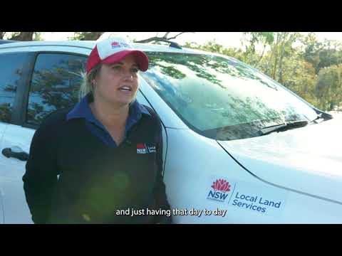
Hear from others who live and work in Brewarrina
Find out more about Brewarrina
Find out where to eat, drink, rest, stay and play within Brewarrina local government area.
Find a range of services with a list on the Brewarrina Shire Council community directory.
Brewarrina Community Directory
Education
Brewarrina has 2 schools, a pre-school and college of TAFE:
The Shire of Brewarrina covers an area of 19,000 square kilometres and borders the state line of Queensland, surrounded by the local governments of Walgett, Warren, Bogan and Bourke.
Getting here and getting away
Brewarrina is situated between Walgett (90-minute drive) and Bourke (1-hour dive).
It is a 4 hour drive to Dubbo and there is a daily bus service Dubbo to Brewarrina via NSW Trainlink.
Dubbo has direct flights to Sydney, Melbourne, Newcastle and Canberra and has over 12 flights departing daily. For current schedules please visit the Dubbo Regional Airport website.
Trains run Dubbo/Sydney return daily. Transport for NSW
To drive to Brewarrina from Sydney will take 9 hours.
Contact us
Contact Western NSW LHD Recruitment
Express your interest in working in Western NSW.


